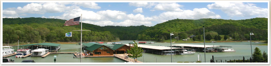
Lake Cumberland Maps
Lake Cumberland Info.com offers High Quality Maps.
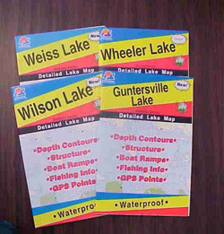
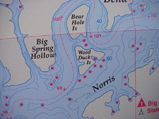
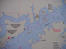
These High Quality Maps are printed on a waterproof, bouyant and tear resistant material. Each has a lat/long grid and GPS coordinates also showing lake facilities including depths, marinas, boat ramps, campgrounds, river miles, river channels, and fish attractors. Fishing tips and techniques are included. Size - 24 x 36.
Purchase these Lake Maps for $16.95 which includes shipping and handling.
These maps can be purchased with credit card through our pay pal account.
Lake Cumberland Map - West (Dam to Wolf Creek)
Lake Cumberland Map - East (Wolf Creek to Burnside)
Or send check or money order for the amount of $16.95 to:
Lake Cumberland info.com
120 Suburban Road STE 201
Knoxville, TN 37923
*A percentage of the proceeds from these maps go towards Lake Clean-up Projects!!
